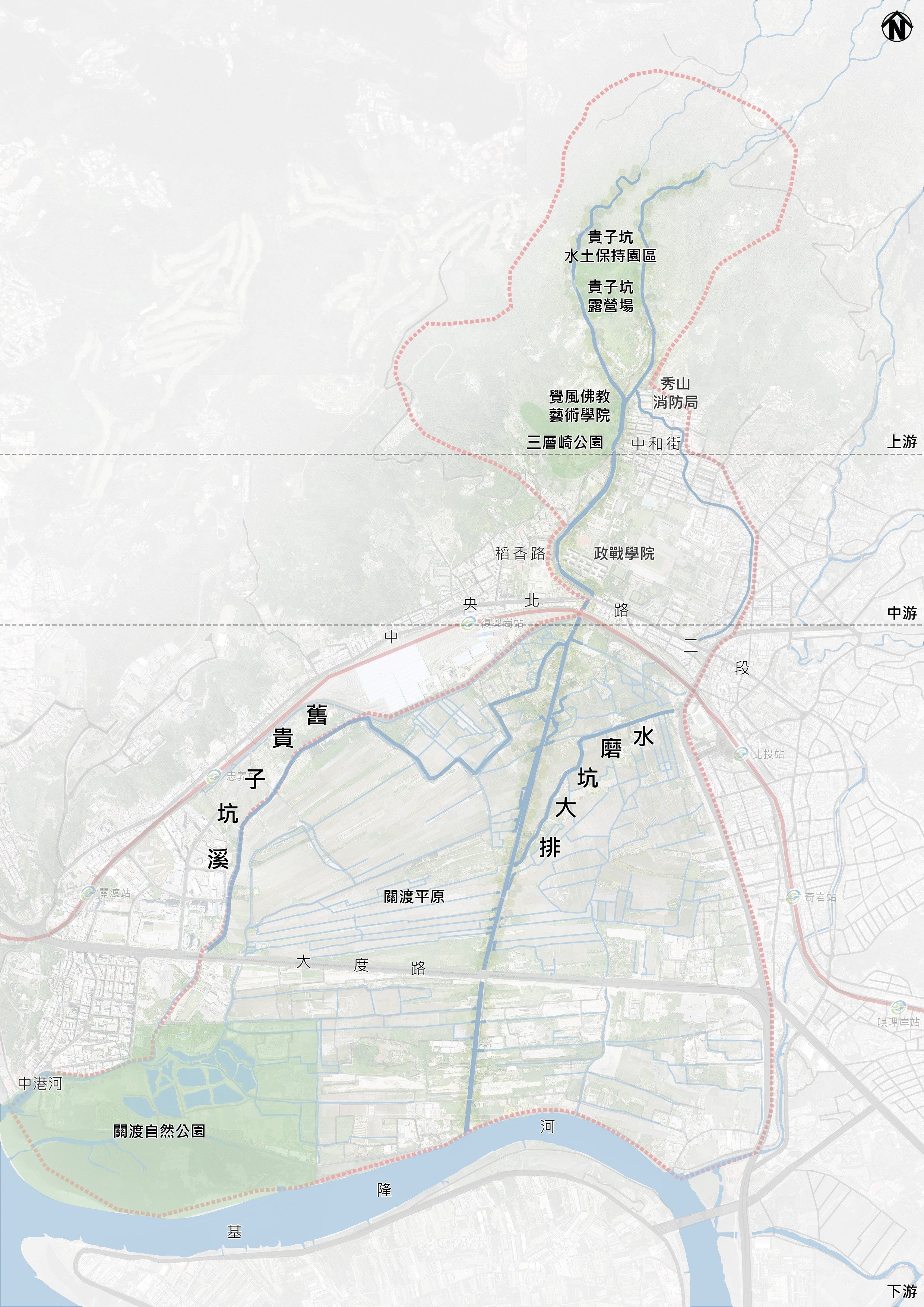
Project location: The Guizikeng Stream is located in the northwest of Beitou District in Taipei City. As a tributary of the Keelung River, the overall river basin covers the Guizikeng Stream, Shuimokeng Stream, JiuGuizikeng Stream, and Shuimokeng Drainage. Originating from the Datun Mountain, the upstream is formed by the Guizikeng Stream and Shuimokeng Stream that flow left and right along the steep Guizikeng. After meeting at the south of Zhongyang North Road, they enter the Guandu Plain before joining the Keelung River. Additionally, the JiuGuizikeng Stream is located in the west of the Guandu Plain, the Shuimokeng Drainage sits in the east of the Guandu Plain before entering the Zhongkang River. Environmental resources in the local area include the Sancengqi Park, Guandu Plain, Chue Feng Buddhist Art and Education Park, Guizikeng Water and Soil Conservation Education Park, and a campsite.
Historical background and origin: The project is originated from the embankment construction for debris flow prevention and downstream flood control in the 1980s. Following the increasing demand for “waterfront” ecological preservation, recreation, and sightseeing in recent years, this project is thus focused on the overall environmental building of the Guizikeng Stream Basin. As far as “ecology and flood control” are concerned, the blue-green area environmental planning that combines functions for flood mitigation, ecological landscape, art and culture, environmental education, and sports and recreation is thus proposed upon the topics: “implementation strategy for reviewing the Guizikeng Stream Flood Control Project for the overall demand for high protection, flood control, ecology, and landscape of future Guandu” and “agricultural disaster mitigation and utility value-added use” to build an environment-first shared city of co-prosperity.

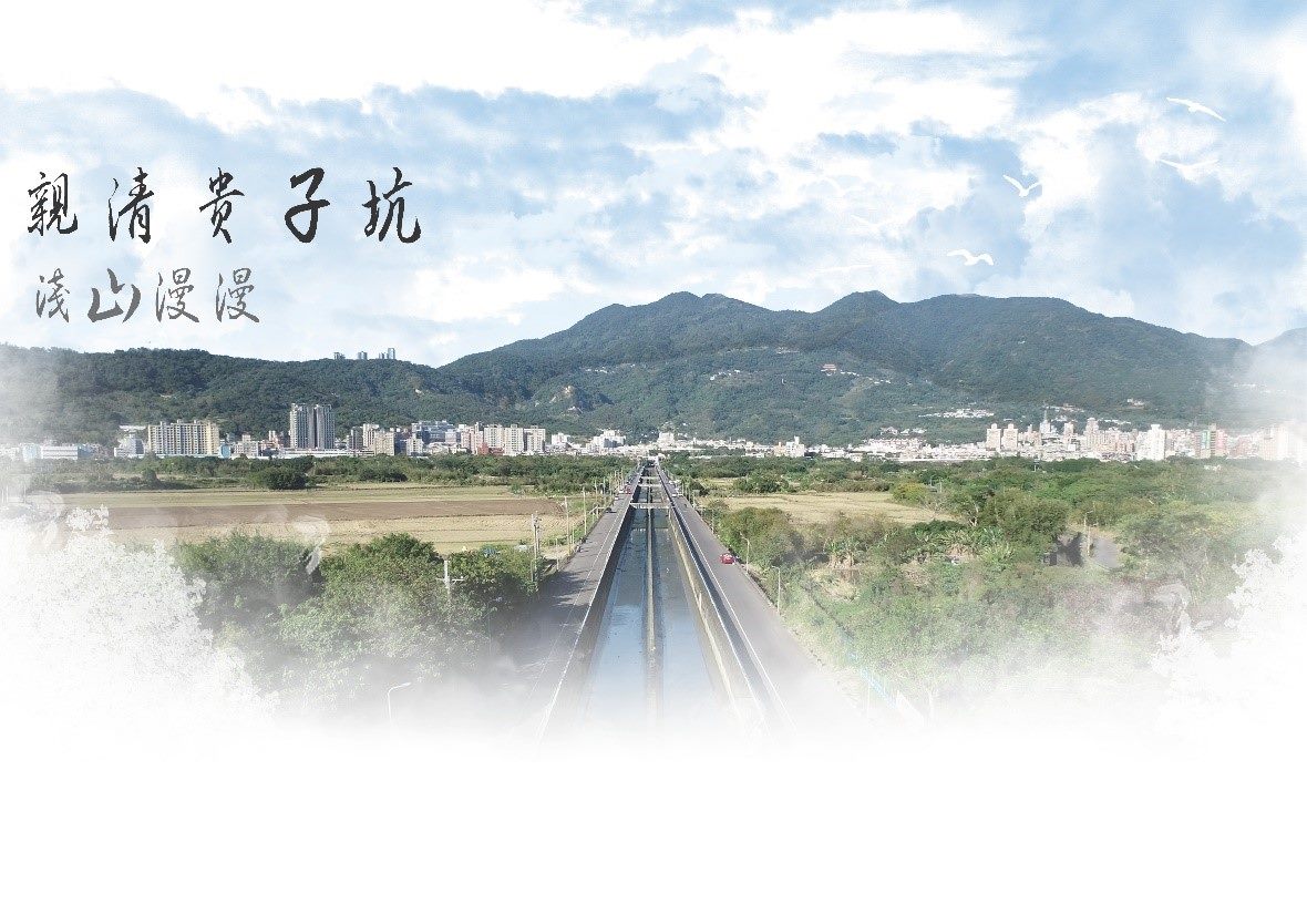
The Guizikeng Stream Basin sits in the suburbs that favor people to enjoy the natural landscapes of streams, mountains, and forests. As this constitutes a close bond to human activities, a buffer area that combines artificial development and the natural environment with the river and neighboring features is delivered through this overall improvement project to provide the city with downshifting and ecological landscapes and environments.


![Taiwan.gov.tw [ open a new window]](/images/egov.png)
