Longshan Riverside Park
Located between upstream the Zhongxiao Bridge and the end of Guilin Road, the Longshan Riverside Park occupies an area of about 93,150m2. In the park there are shades formed by towering trees. Below are naturally formed stone benches and tables. It is a green tunnel swarmed with warbling white-eyes and wild birds. Sitting close to the waterbird reserve, the Longshan Riverside Park is filled with watergrass and reeds, and packs of egrets and other unknown wild birds often fly across. Flood control, conservation, and recreation are the management procedures and principles of the park. The tall grass on the riverbank and floodplain provides protection, food, and habitats for migratory birds and wild ducks. The park's appearance demonstrates the high literacy of Taipei citizens. In the park stands a dragon looking at the sky. However, the body is like a chameleon. If you visit the park, seek it out. The vision at the river course near the Zhongxing Bridge is wide. The color of clouds is changeful during sunset. The towering buildings on the opposite side form an undulating skyline. With their reflections in the river, the place is an ideal shooting spot for photography lovers.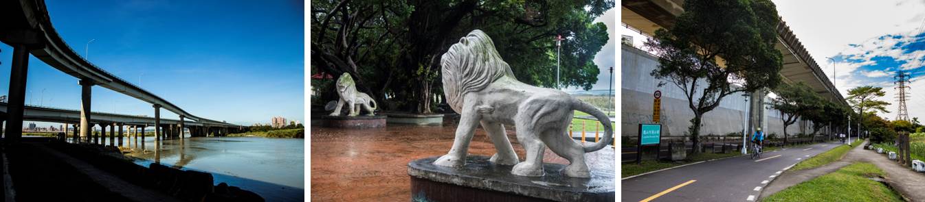
Sportsground and fitness facilities: Basketball courts, badminton courts Other service facilities: Kiosk and car park
Longshan Temple Longshan Temple in Bangka was built in 1738 during the Qing dynasty. It is a grade II national historic monument. From Tamsui floodgate 1, people can enter Taipei and walk to Longshan Temple. Together with the Taipei 101, National Palace Museum, and Freedom Square, they are called the four major attractions for foreign visitors in Taipei. Bopiliao Historic Block Guangzhou Street not far from Longshan Temple is an old street where the street planning in the Qing dynasty is preserved. Bopiliao Old Street borders Laosong Elementary School in the north, Kunming Street in the east, Guangzhou Street in the south, and Kangding Road in the west. As it was a planned area for Laosong Elementary School in the urban planning during Japanese colonization, building construction was restricted, and the track of spatial planning of the Qing dynasty and Japanese colonization was preserved.

![Taiwan.gov.tw [ open a new window]](/images/egov.png)